Insights
Why Construction Teams are Combining 3DGS with Traditional GIS
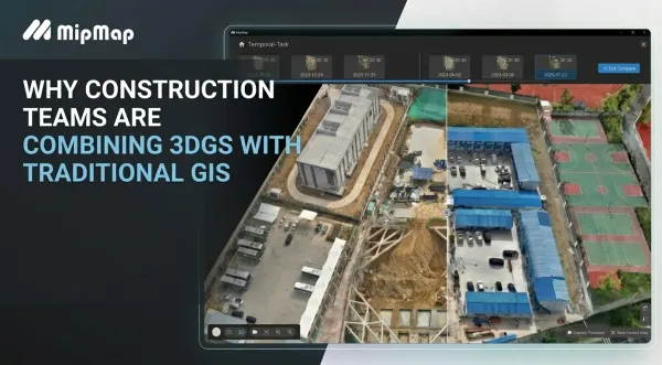
Discover how MipMap bridges this gap by fusing production-grade 2D precision with photorealistic 3DGS. Learn how our browser-based tools eliminate data friction, streamline progress tracking, and elevate remote collaboration directly from your desktop.